I have always found the prominence that the Ordnance Survey gives to boundaries bewildering. I am sure we have all tried to follow a parish boundary, mistaking it for a footpath (though not on our bikes). However, with the current COVID restrictions, I suddenly find myself avidly studying the county boundary, trying to ensure that I don’t make incursions into the forbidden lands of Worcestershire, Herefordshire or other surrounding counties.
This has thrown up some anomalies. You can head to Tewkesbury, but will soon cross into Worcestershire, unless you want to ride on the busy A46. Dymock is a little peninsula, surrounded by Herefordshire, as in a similar way, Lechlade juts out into Oxfordshire. If you want to visit Willersey or Mickleton, then you have to go over the Cotswolds, as Broadway is in Worcestershire. Curiously, the Four Shire Stone, near Moreton-in-Marsh, is now only in three counties (Gloucestershire, Warwickshire and Oxfordshire).
Its not any easier in the Forest, unless you really like climbing. Redbrook is in Gloucestershire, but can only be accessed from Bigsweir. If you descend from Coleford, through English Bicknor to Lower Lydbrook, then be prepared to climb back to Ruardean, as Kerne Bridge is in Herefordshire.
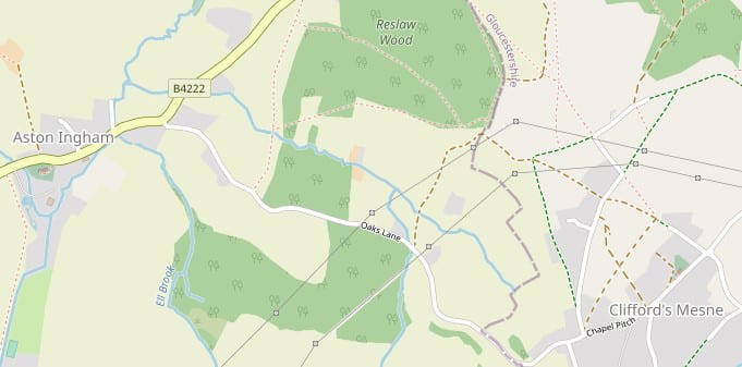
There was one good conclusion from this study. The increadibly potholed Oaks lane from Clifford’s Mesne to Aston Ingham crosses a boundary, and as such I cannot ride it anymore.
Wherever you chose to ride during the current restrictions, please do so safely, and take flood and ice risks into account when planning your route. We can only hope that better weather and an easing of restrictions will make for better riding soon.
Vice Captain
Further to this, a top tip is to use Open Street Maps (the standard layer, not the cycle one) as the county boundary is clearer than the OS maps.